> e f f i c i e n t > a c c u r a t e > e f f e c t i v e .
|
Drones. UAV. R-PAS. No matter how spelled, they all mean the same thing. Small, compact and highly maneuverable flying systems.
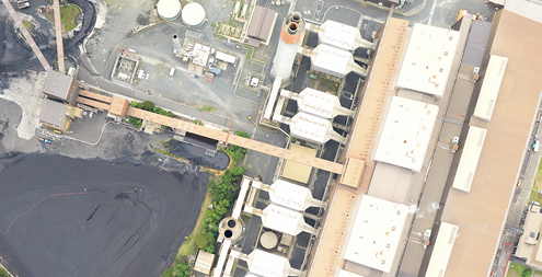
These new systems have their roots in the military, but have carved out a niche with many industries and humanitarian applications around the world. We have been utilising this technology at Sky Map since 2012 in conjunction with our aircraft platforms, and are one of the earlier adopters of them. All UAV operations are overseen by our highly experienced flight crews, who also hold NZCAA Pt61 Commercial Pilot Licenses for fixed wing aircraft. This means we can operate where others, cant. a p p l i c a t i o n s> Aerial Mapping upto 10km2
> Topographic Survey > River Monitoring > Coridor Mapping > 3D Modelling > Asset Inspections > Stock Pile Survey > Search & Rescue > Research Applications |
|